

How Google, Astronauts and Researchers Are Teaming to Speed Space and Earth Science
1. What Google is saying now: a concise summary
In mid‑September 2026, Google published a set of posts and resources describing how it pairs AI with domain experts — including astronauts — to speed scientific work and expand access to data and prediction systems. The material highlights three connected claims: that AI models are accelerating scientific workflows across health and Earth sciences; that partnerships (from researchers to astronauts and government agencies) bring operational experience into model design and deployment; and that Google is packaging publicly accessible tools and data (for example, the AI & Economy ATLAS interactive and open datasets) so more people can use them. These claims and examples are described in Google’s own blog posts and related research summaries (see Sources).
2. Why astronaut partnerships matter (and what the evidence shows)
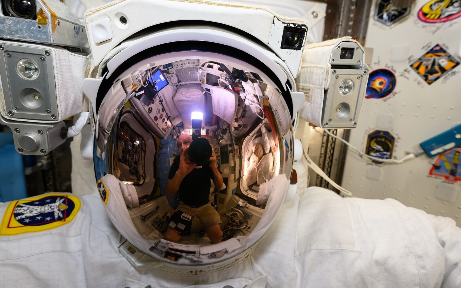
Google’s Dialogues series includes a conversation between NASA astronaut Christina Koch and Google SVP James Manyika that frames astronauts as both scientific collaborators and translators of operational needs into technical requirements. The dialogue emphasizes astronauts’ roles in testing robotics and observing Earth from orbit — first‑hand perspectives that inform what kinds of models and data products are useful back on the ground. The source is a recorded public talk; it demonstrates interest and thematic alignment, but does not imply a formal research contract beyond collaboration and conversation (see source: Dialogues on Technology and Society).
3. Concrete AI tools Google highlights for Earth and space‑relevant science
Google’s posts enumerate multiple AI systems already in use: WeatherNext 3 for higher‑accuracy precipitation forecasts; Flood Hub for riverine and flash flood forecasts; wildfire boundary prediction tools and a proposed FireSat satellite constellation; and the Earth AI Planetary Prediction Engine (PPE) used for crisis mapping. These are described with use cases — for example, WeatherNext contributing to more accurate hurricane and cyclone forecasts, and PPE performing better than some existing systems in identifying Ebola hotspots and local food‑security risks. These examples are documented in Google’s research posts and should be read as reported outcomes rather than independent validations (see sources: WeatherNext, Flood Hub, PPE).
4. How researchers are actually using AI — ATLAS findings
Google’s AI & Economy ATLAS and related research with MIT FutureTech present survey and catalog data showing that scientists are among the more frequent daily users of AI tools. The reported patterns: near‑half of surveyed scientists use AI daily; both large language models and specialized models are in wide use; and scientists report time savings (reported as roughly seven hours per week). Importantly, the research also documents new bottlenecks — a backlog of hypotheses and additional validation work — meaning that time saved on some tasks has not automatically translated into immediate discovery without changes to workflows (see source: AI & Economy ATLAS research summary).
5. A realistic worked example: from satellite observation to community alert
Step A — Observe: a small wildfire begins in a remote watershed. Satellite data streams feed image and thermal inputs into a boundary‑tracking model described by Google Research. Step B — Predict: FireSat‑style detection combined with boundary forecasting generates a probable spread area. Step C — Translate: the model output is fed into an alerting system or search index (like Search crisis features) to surface relevant information to local authorities and residents. Step D — Validate & Act: emergency teams cross‑check model output with local sensors and determine evacuation or firefighting priority. Google’s materials document each component type (detection, boundary prediction, alerting) and reference early operational use in multiple countries; however, the posts emphasize that human verification and local partnerships are essential before acting on automated outputs (see sources: wildfire tracking, FireSat, crisis alerts).
6. Decision checklist for researchers and civic teams
- Define the question: Are you predicting a physical hazard (flood, fire), modeling biological risk, or enabling long‑term research queries? Use this to pick models (specialized vs. LLMs) as Google’s research recommends (source: ATLAS research).
- Data readiness: confirm satellite, sensor or clinical inputs exist and are permitted to be combined with AI models. Publicly documented platforms (Flood Hub, PPE) are intended to accept common inputs.
- Validation plan: schedule independent ground‑truth checks and define error tolerances before any operational alerting. Google’s own summaries note backlog and validation bottlenecks.
- Partnerships: involve local authorities, domain experts, and — where appropriate — operational teams (astronauts or mission specialists for space hardware context) to ensure models answer practical needs (pointed out in Dialogues with Christina Koch).
- Responsible deployment: include human‑in‑the‑loop steps and publish metrics and failures publicly where possible to build trust.
7. Limitations, risks and the evidence‑backed uncertainties
The sources emphasize benefits but also note clear limits. ATLAS research reports time savings but also additional validation burdens and a backlog of hypotheses; PPE and WeatherNext examples show performance gains in pilots and specific incidents but are not universal guarantees. Google’s posts repeatedly call for multi‑party validation and responsible design; those calls indicate that model outputs need careful interpretation and that operational use cases require domain‑specific testing. In short: the announced systems have documented successes in limited deployments, but scaling to new regions or domains will require local data, verification and governance (see sources: ATLAS, AI for Societal Impact, PPE, WeatherNext).
8. Practical workflows for labs that want to reuse public Google resources
Workflow suggestion (adaptable): (1) Survey open Google resources referenced in the posts (eg. AI & Economy ATLAS interactive, Flood Hub documentation); (2) prototype with archived or public historical data; (3) hold a short validation sprint with domain experts to measure false positives/negatives; (4) publish your validation dataset and methods to community repos where licensing allows; (5) iterate with partners and request access to additional feeds only after ethical review. The posts and ATLAS experience make clear that open interactive resources are intended as starting points for such experiments, not turnkey operational systems (see sources: ATLAS, Flood Hub documentation).
9. Practical takeaway for policy makers and funders
If you fund or procure civic forecasting systems, prioritize: (a) integration budgets for local validation and sensors; (b) transparent reporting on error rates and decision thresholds; (c) training for front‑line responders on interpreting probabilistic AI outputs; and (d) public data sharing where privacy and safety permit. Google’s materials show potential value in higher‑resolution forecasts and planetary crisis mapping, but also highlight that societal benefit depends on governance, partnerships and sustained local capacity building (see sources: AI for Societal Impact, PPE, WeatherNext).
10. Where to learn more and next steps
Read the original Google posts and the ATLAS interactive to see the datasets and research summaries yourself. If you’re a researcher, start with the ATLAS open experience and the domain research summaries to identify models and datasets that fit your question. If you’re an emergency manager, pair model pilots with sensor and local verification plans before operationalizing alerts. The company’s dialogue with Christina Koch is a useful primer on how front‑line operational experience (in orbit and in the field) can shape useful model design — but it is not evidence of a universal solution: human expertise, testing and open review remain necessary.
Sources
- Dialogues on Technology and Society — Christina Koch & James Manyika: https://blog.google/innovation-and-ai/technology/ai/dialogues-christina-koch/
- Building AI to accelerate science and improve lives (AI for Societal Impact collection): https://blog.google/innovation-and-ai/technology/ai/ai-applications-science-people/
- AI for Societal Impact overview: https://blog.google/innovation-and-ai/technology/ai/ai-for-societal-impact/
- New insights from Google’s AI & Economy ATLAS (research summary and interactive): https://blog.google/innovation-and-ai/technology/ai/ai-economy-atlas-september-2026/
SOURCES
Sources and further reading
EZ Trends links to primary documents, official announcements and established public-interest organizations. Consult the linked sources for current information.